Mount Barney East Peak, QLD, Australia
hiking
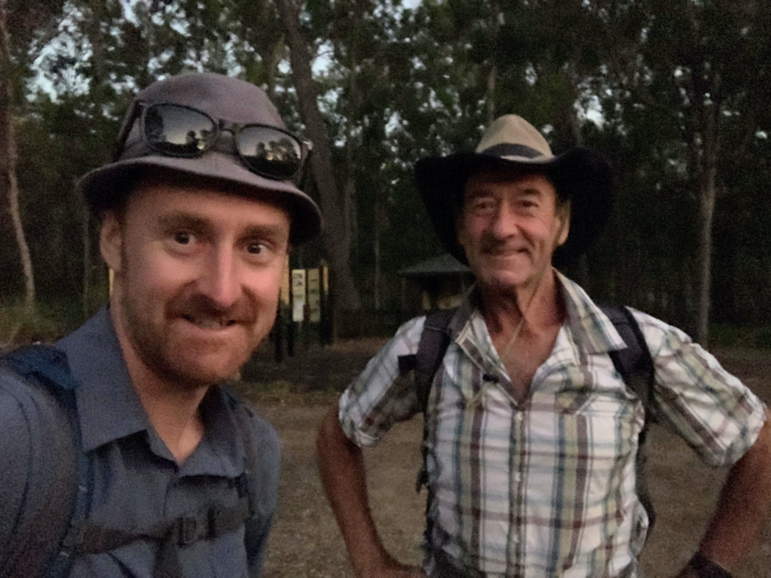
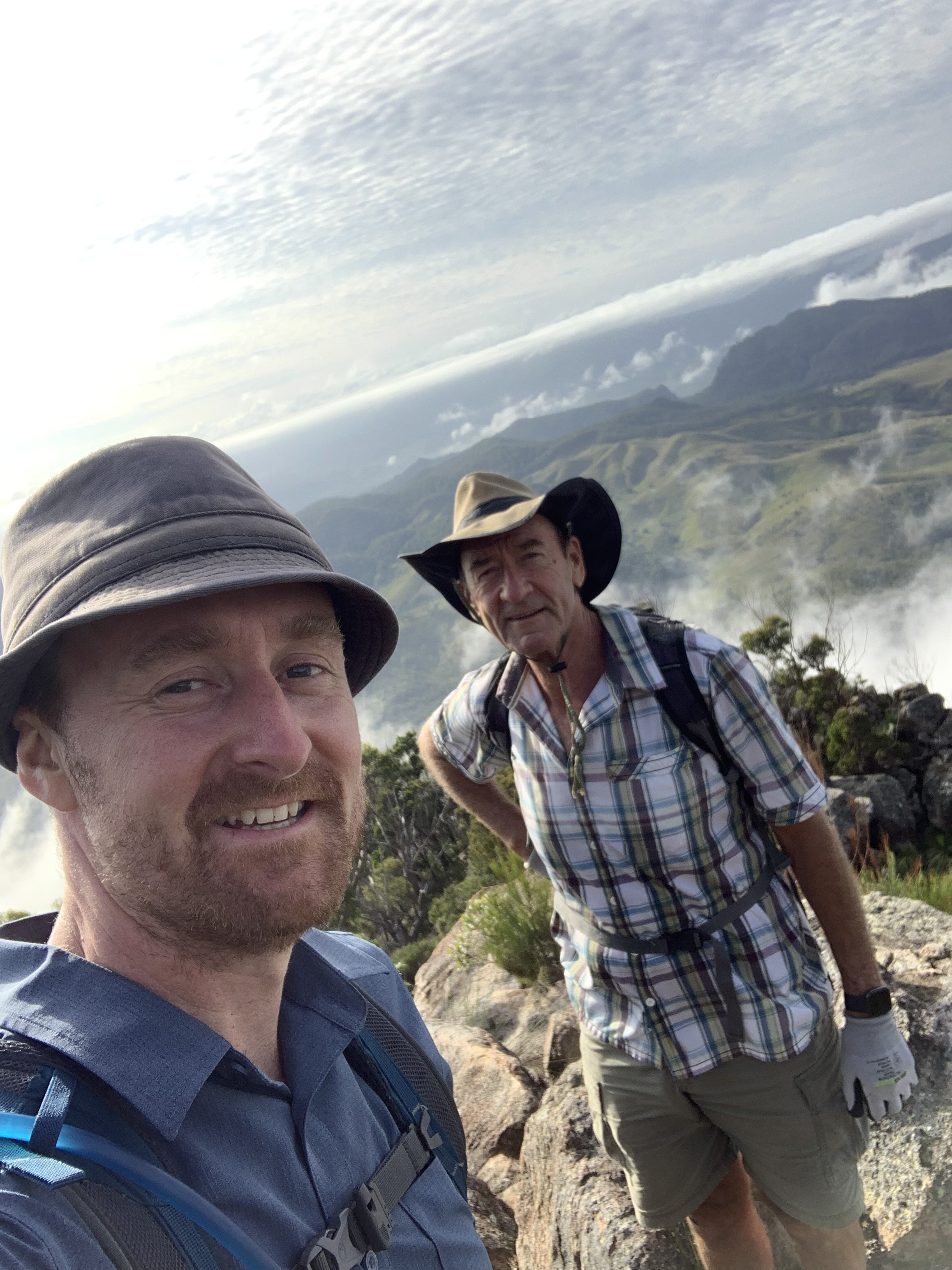
A memorable day hike with my Dad for some of the most impressive views in the Scenic Rim Region.
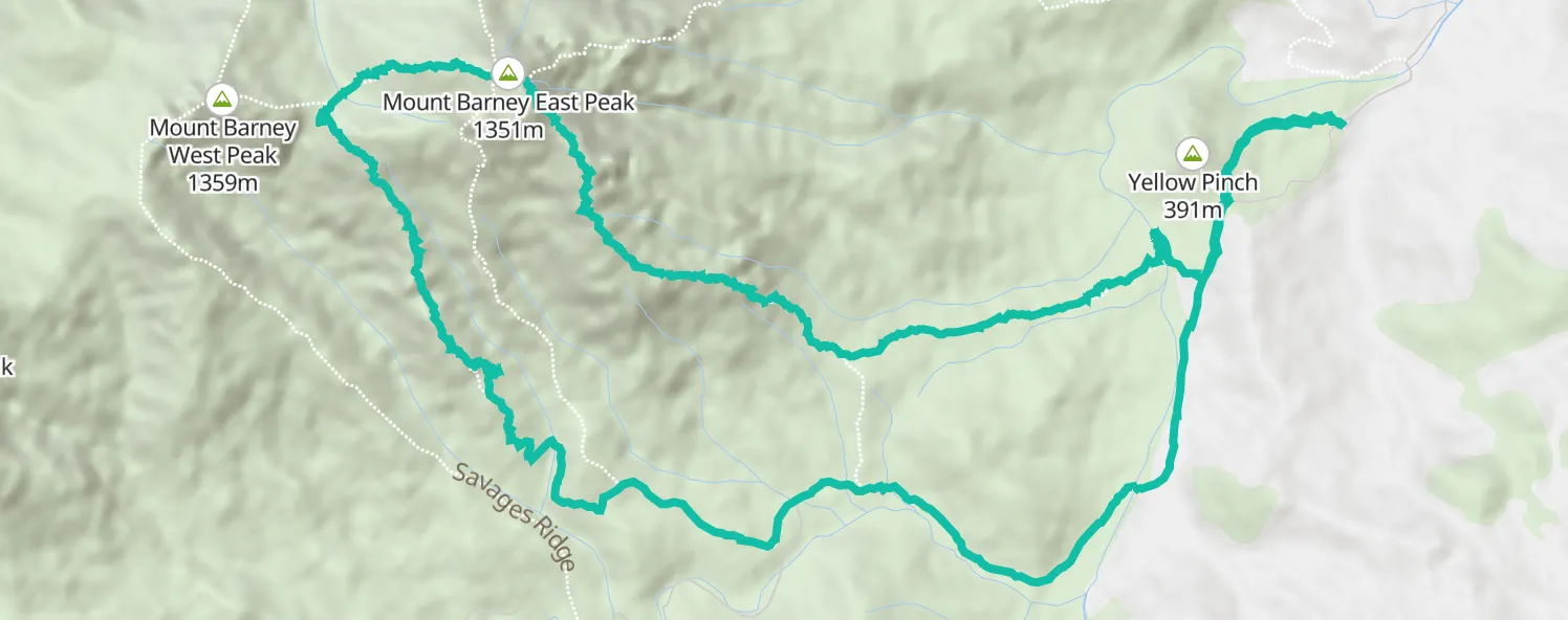
Mount Barney is known as one of the most impressive peaks and challenging hikes in the Scenic Rim region of Queensland, Australia. In my experience it was a solid test and the views along the South East Ridge were really amazing.
Reaching the summit with my Dad made it really special. It’s a hike I’ll remember for a long time.
I had actually been in the area the previous weekend with another friend. Our aim had been to hike and camp overnight between the east and west peaks, however plans changed and we didn’t end up at the top.
Back home through the week, with only a few days remaining on my Australian trip, I had a real itch to get back out there and bag the summit. Having already convinced myself to tackle it solo, it was a happy surprise when Dad decided to join.
The journey out to the trailhead was a couple hour drive. We took off in my parents 4WD well before sunrise and arrived right around dawn.
The first section from the carpark rises gently and wraps around the base of an interesting little peak known as Yellow Pinch. I’d actually been to the top the week before and can recommend the lookout at the top for great views of Mount Barney. On this particular morning our focus was on the climb ahead so we carried along the trail, through a first then a second gate that marks the beginning of the South East Ridge Summit Route.
After a few minutes heading gently downhill we came to a creek crossing, which is in fact the early stages of the Logan River, and our first challenge of the day. The waters were flowing reasonably quickly and it was too deep to wade across fully clothed. After tracked up and down a ways we eventually found a series logs and rocks that let us hop our way to the other side.
At around the 3.5km mark, the trail becomes steeper though it’s mostly a straight shot up along the ridge without any switchbacks. The trail is well worn if not all that well marked; we saw just one marker along the route.
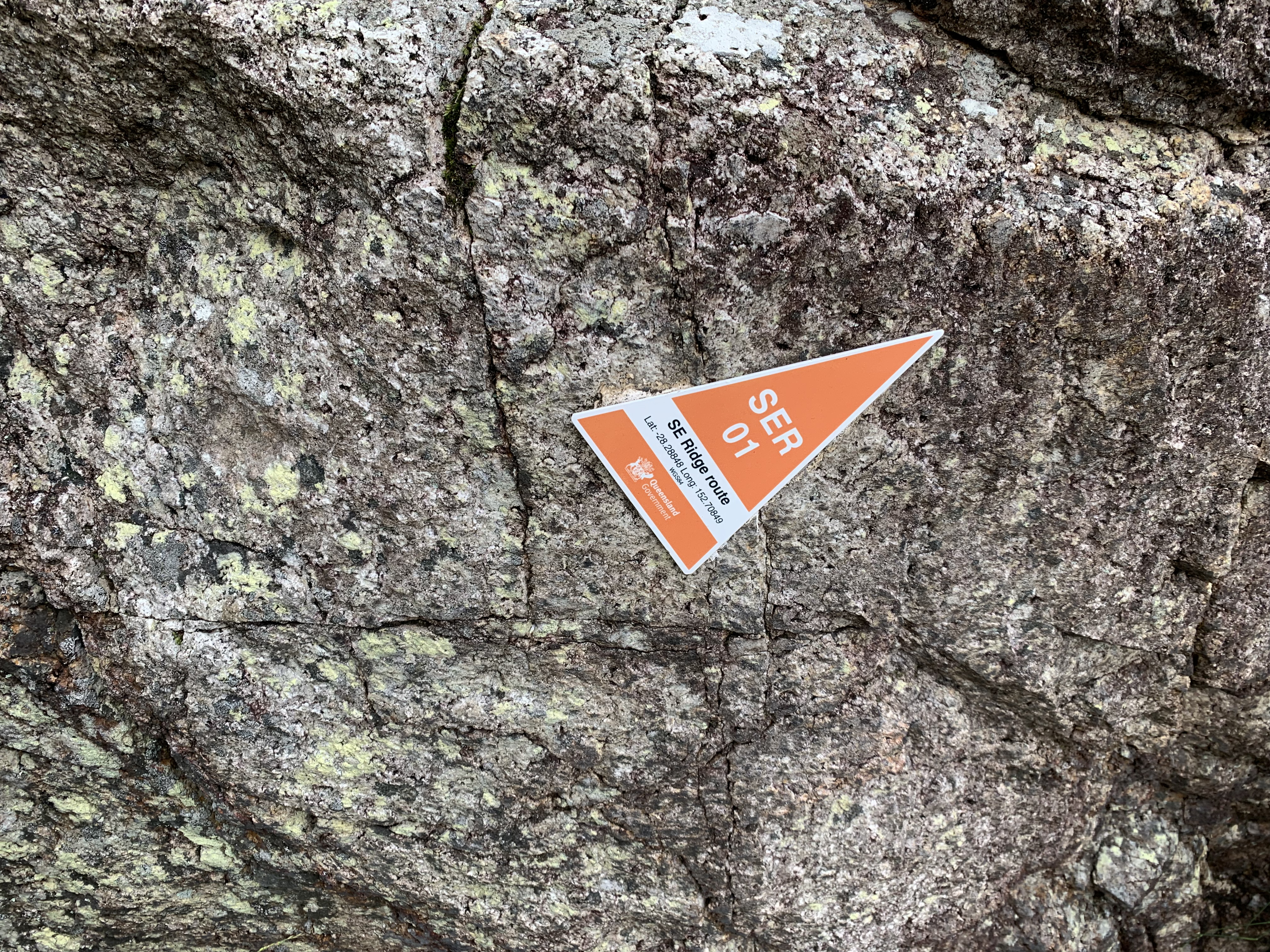
SE Ridge Route marker - the only one we saw along the trail.
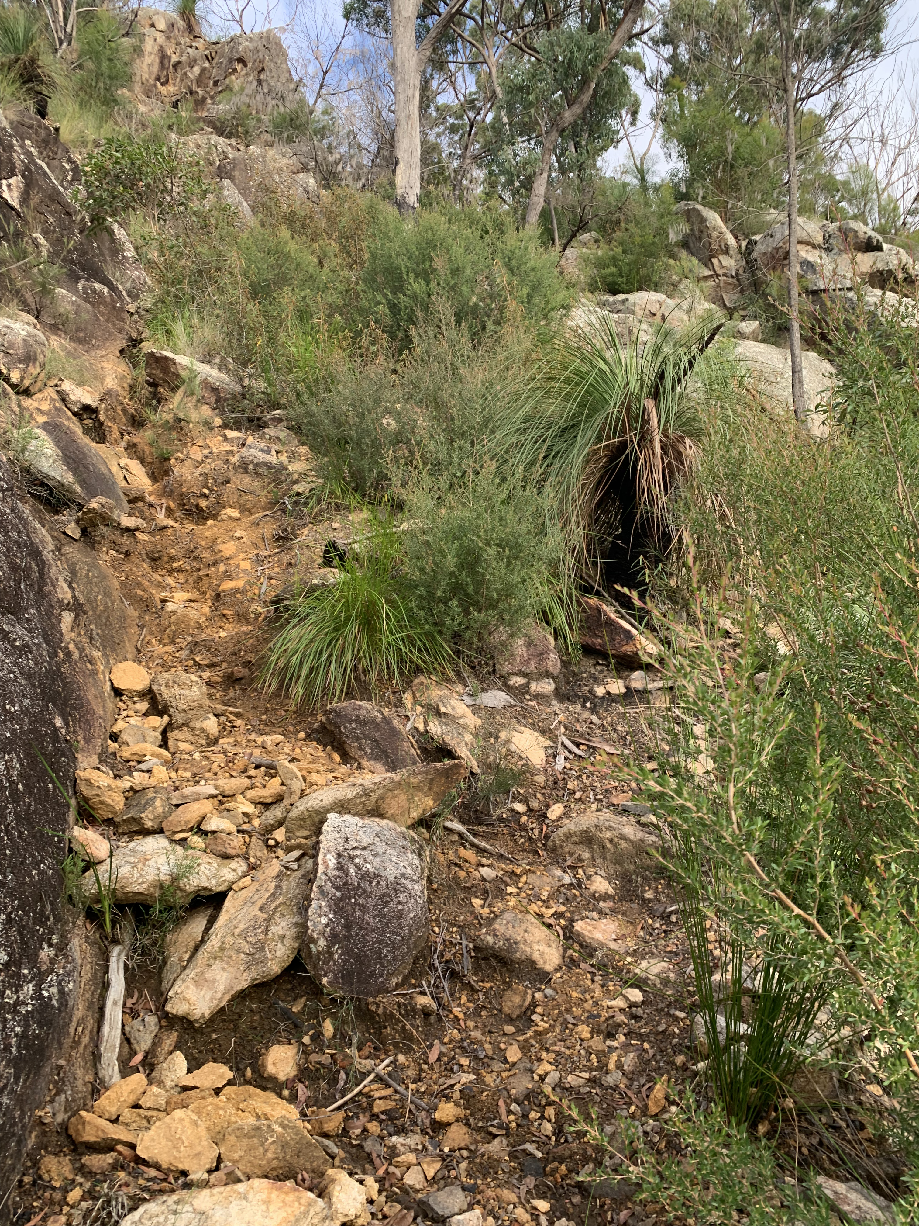
There are several steep chutes with a little scrambling required. Nothing too technical except for one section where a a fixed rope has been set. This we actually skipped the roped section because the smooth, wet rock offered zero traction. Instead hiked we around to the south and found an alternate. In hindsight, this option was more technical and exposed, but it worked and no harm done.
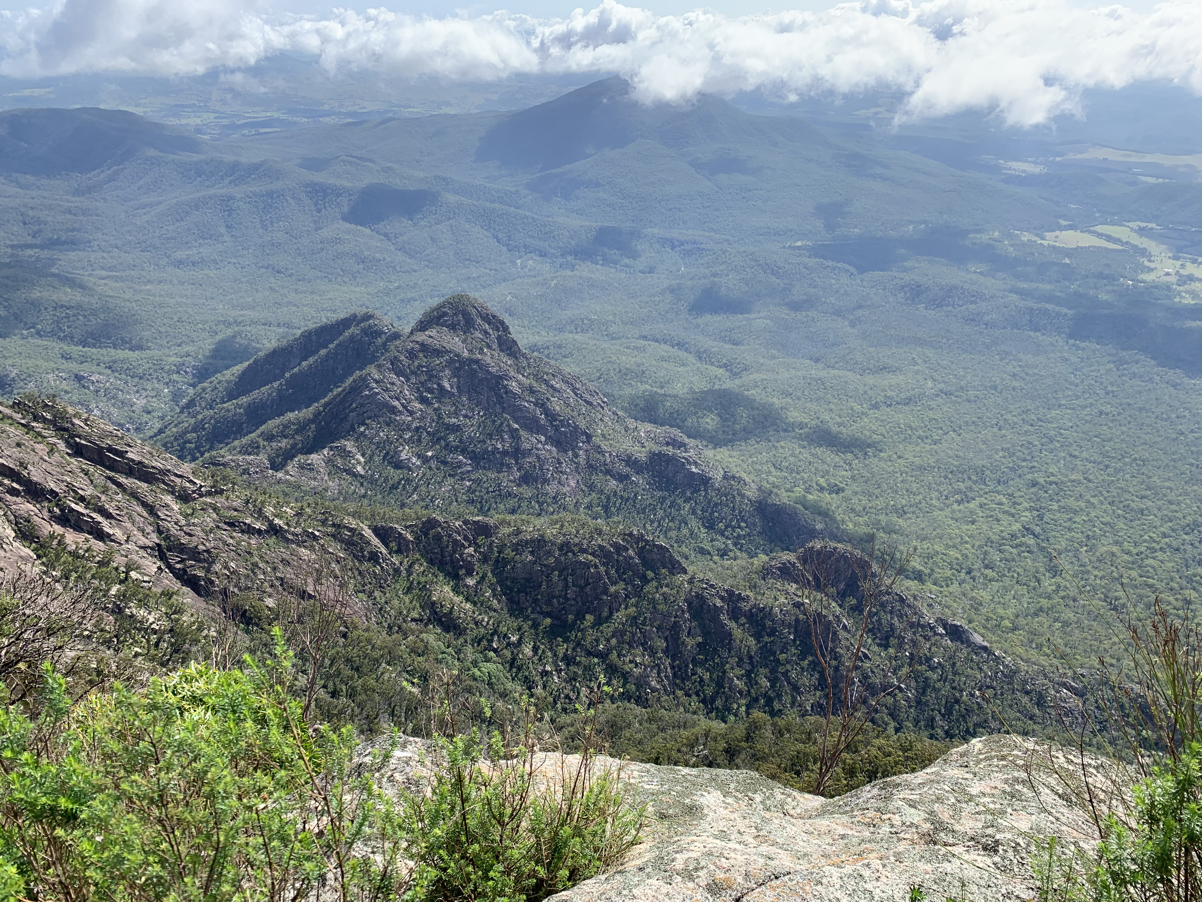
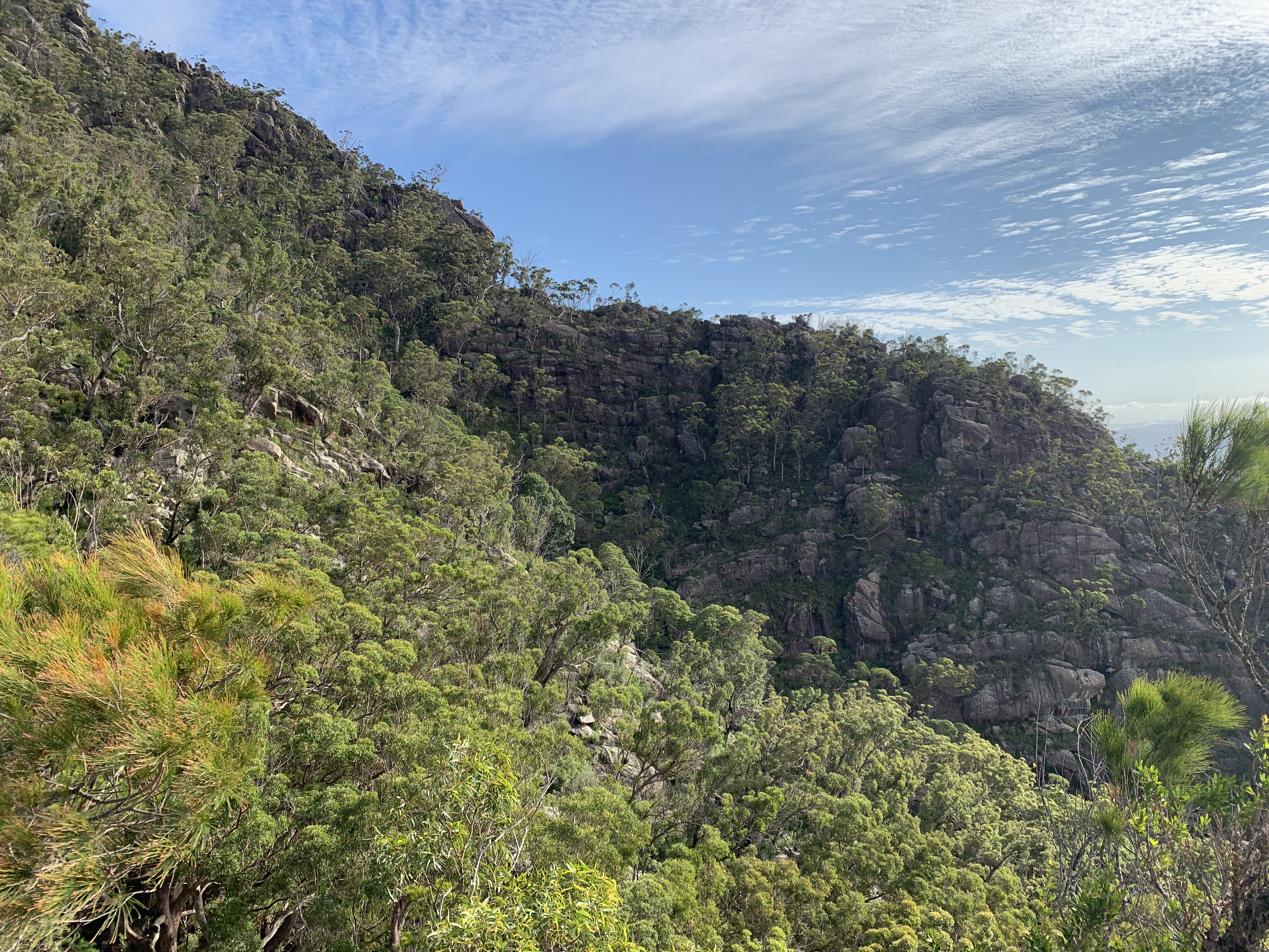
One of the many spots for great views along the South East Ridge Route.
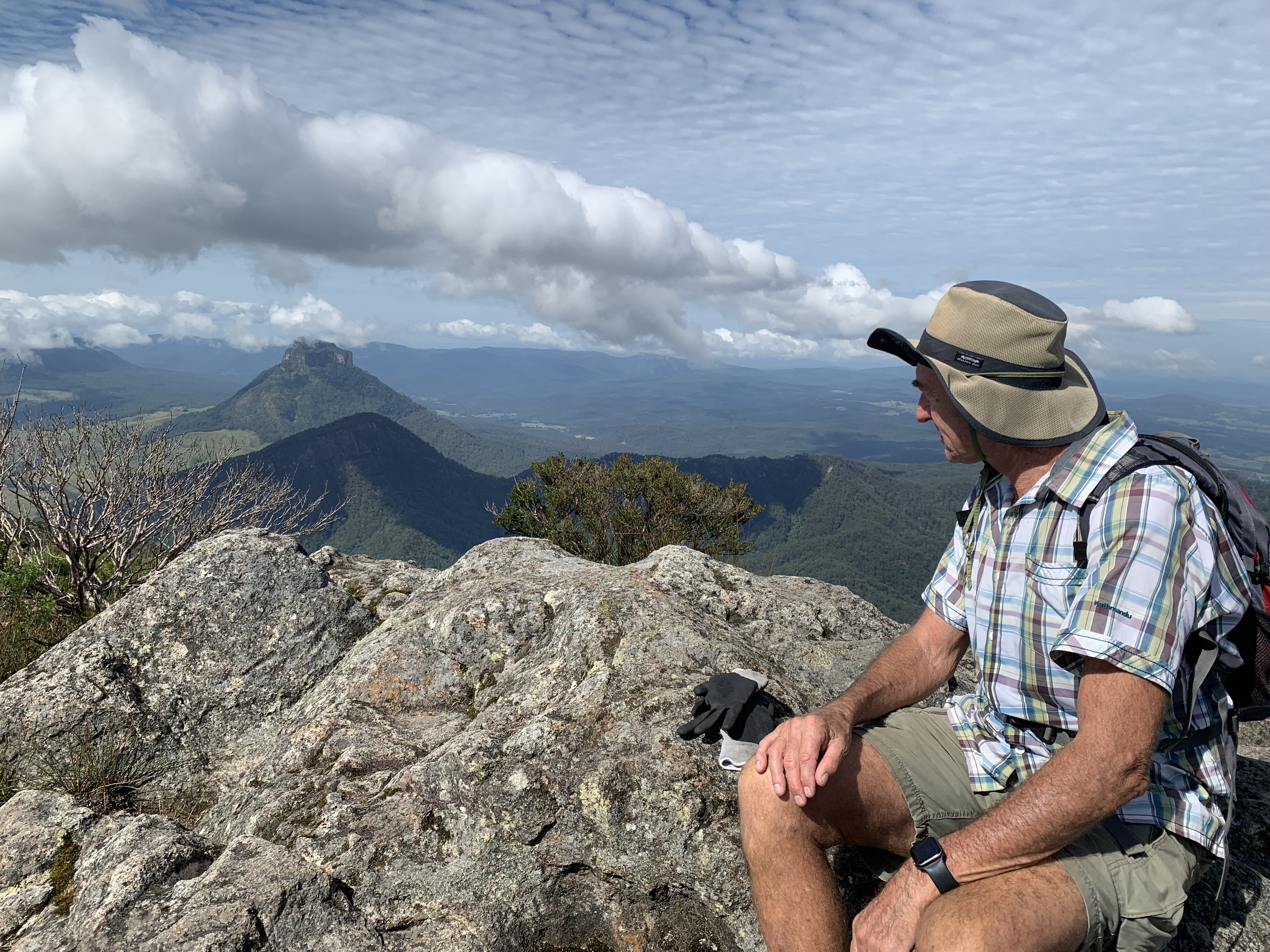
At various points the rocky ridge rose above the surrounding trees and the easterly views opened up for us. The sun was shining and although there were clouds on the horizon, the sky above was mostly clear. The green trees of the National Park below were like a mossy carpet covering a network of ridges and valleys below.
The summit was all ours. Quiet, hot but with a cool breeze to balance it out. There was a little more cloud on the horizon than one would hope. Stunning nonetheless.

It’s a long, roughly 10km hike back to the carpark via Peasants Ridge. After using plenty of energy on the climb our legs and knees were definitely feeling it. It was some relief to finally be back at the car where cool drinks and some fresh snacks were awaiting us. All smiles after a great day out in the mountains.