Mowburra - Montserrat loop, Queensland, Australia
hiking
A most challenging overnight hike, almost biting off more than we could chew, but working through it all for stunning views.
The initial sales pitch from an old friend and hiking buddy:
- A challenging overnight loop taking in lesser known peaks in Mount Barney National Park
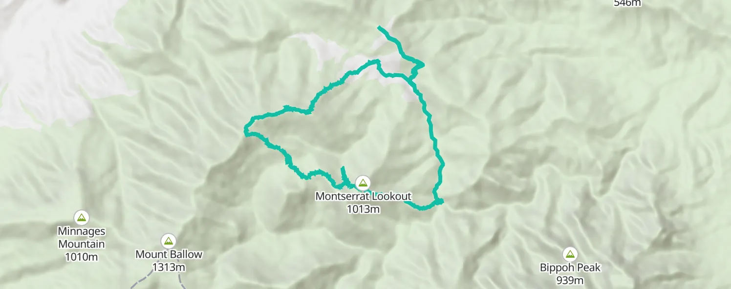
- Day 1: 7km: Cleared Ridge Carpark trailhead, Upper Portals, Montserrat
- Day 2: 9km: Focal Peak, Durramlea Peak, Mowburra Peak
After further research we decided to reverse the route. We’d first tackle the longer section with three peaks and few (likely zero) water opportunities on the first day. On the second day we’d then descent Focal Peak Trail to the swimming hole and a relatively easy walk along the Upper Portal Trail.
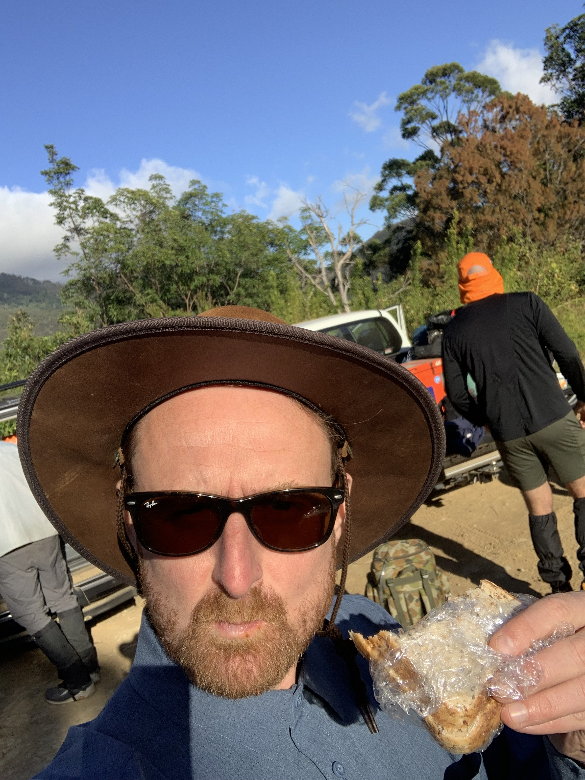
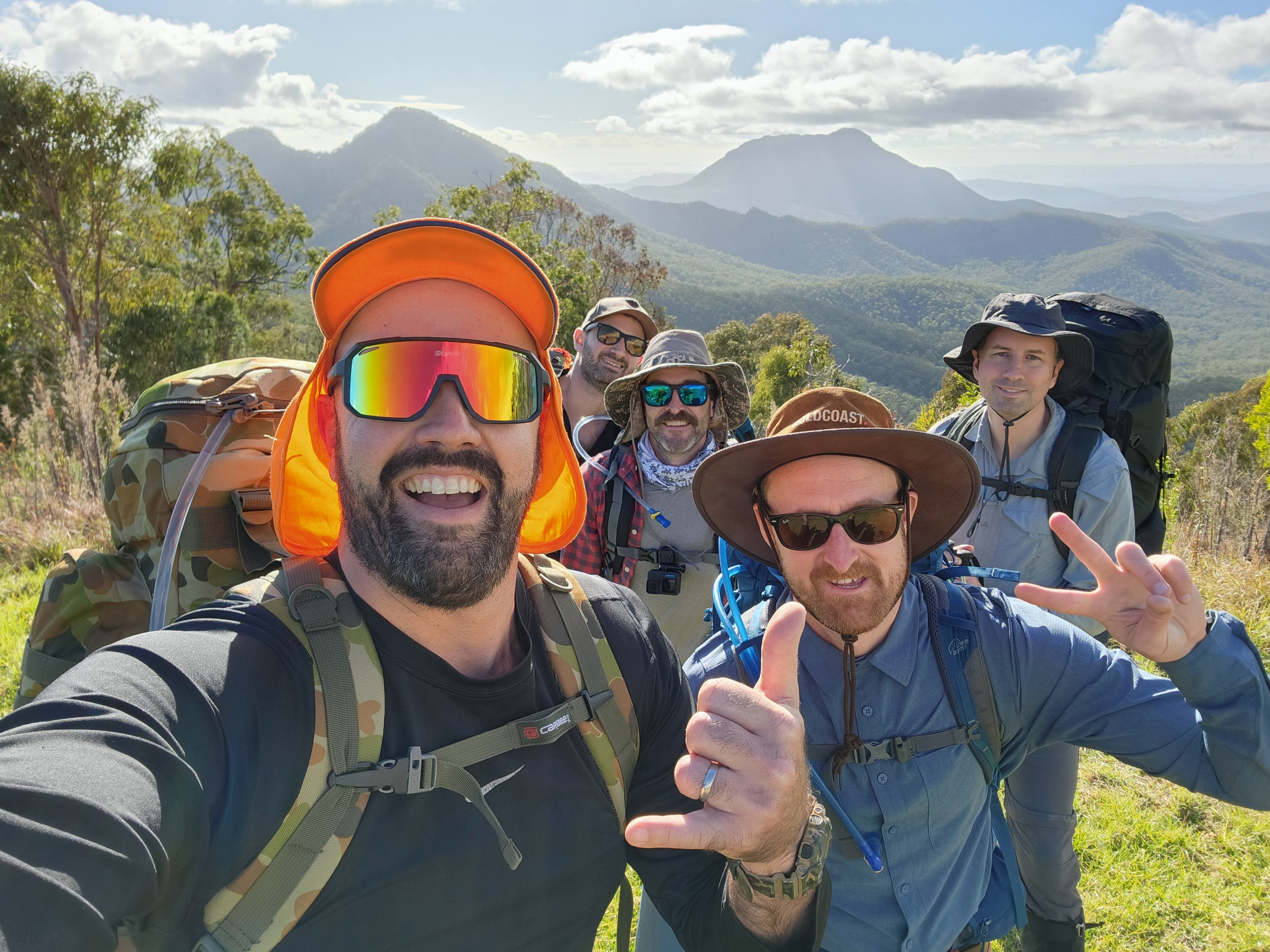
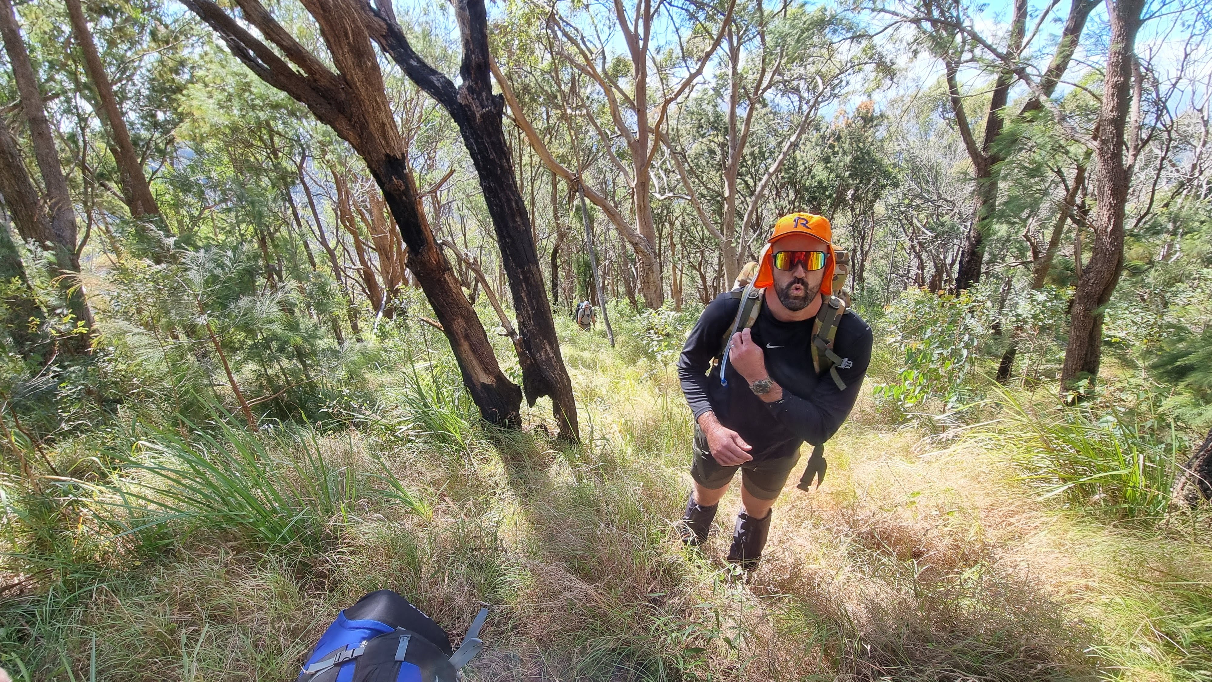
With a crew of five, we set out from Cleared Ridge at approximately 8:45am. My pack was 17kg including 5L water; tent and sleeping gear, food and cooking equipment, and essential rain and safety gear were on board.
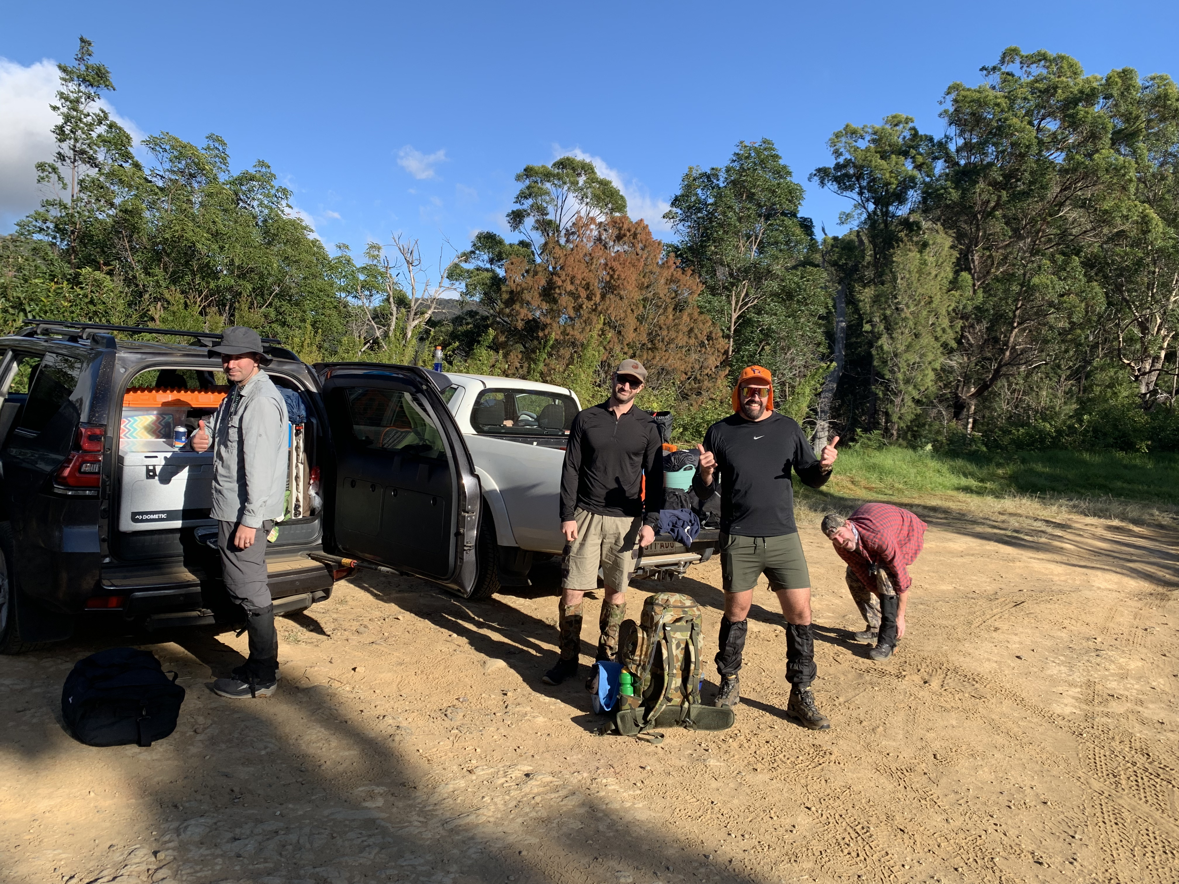
The group were in good spirits and we prepared with great views west to Mount May and and Paddy’s Peak.
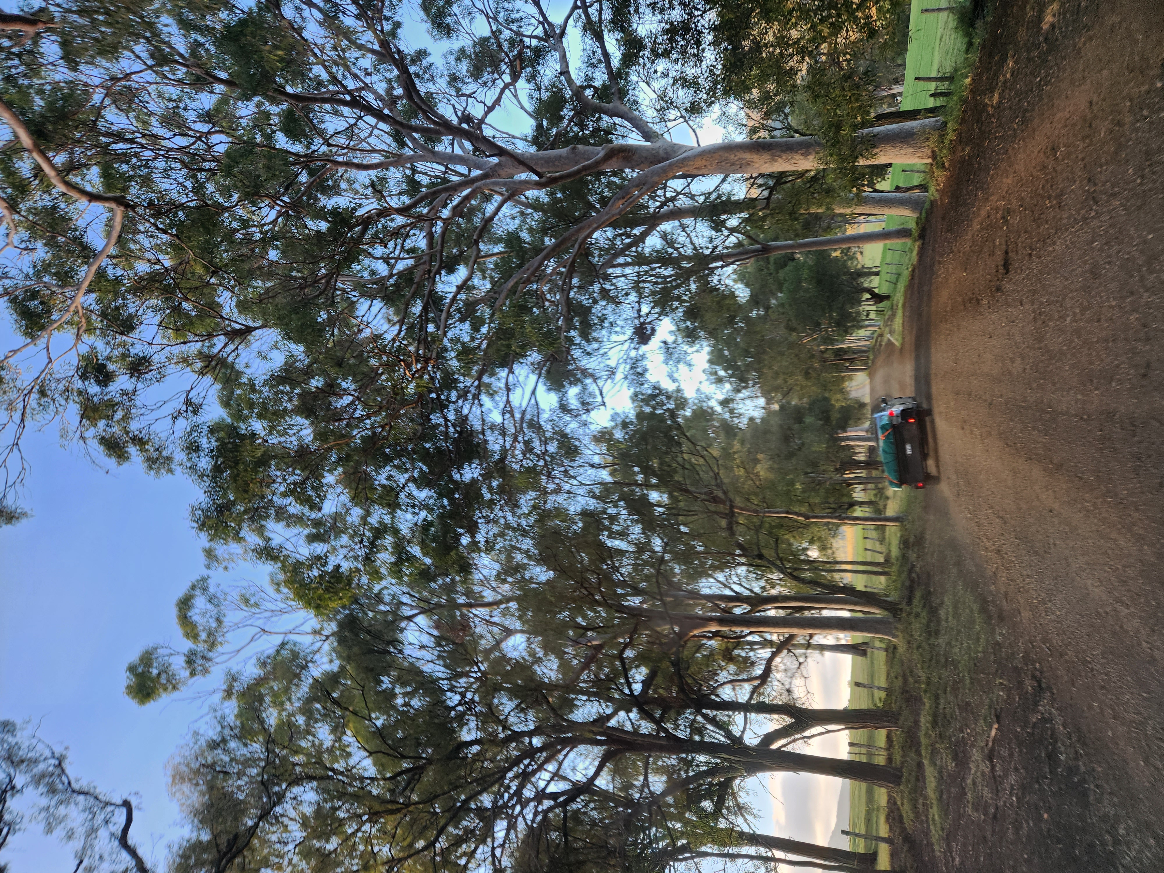
The trail starts off heading up and over a small crest and then winds down a steep fire trail for the first 1.5km. Arriving at a t-junction where a right turn heads toward Grace’s Hut and private property, and a left turn follows the Upper Portals Track.
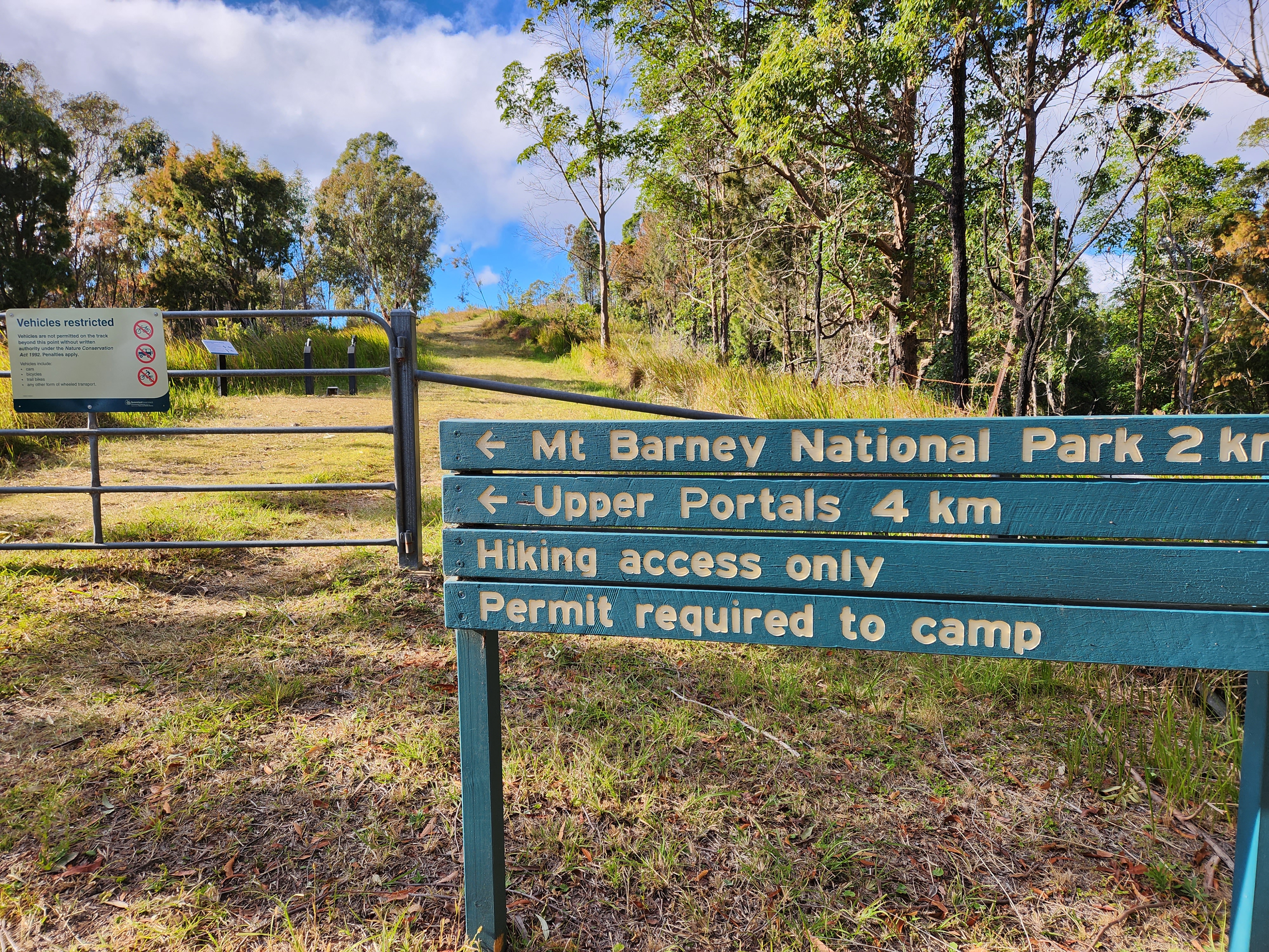
The plan was to hop over the creek somewhere near the T, find the edge of the Mt Barney NP, avoiding private land and the nature refuges, and connect with the Mount Ballow Trail. After scouting 500m along the steep and soggy bank of the Yamahra Creek, the pragmatic way forward was to head in the other direction and do our best not to disturb anything. This took us over a narrow and slightly tricky creek crossing where the stream crossed the fire trail, through a clearing around Grace’s Hut, and up to the point where our maps had Mount Ballow Trail marked.
It was then a left turn up into the scrub on a barely visible trail. This section of the Mount Ballow Trail was quite steep through dry bush with light tree cover. Going from 600m to 1680m elevation over 2.5km (avg. 15-20% gradient) had the legs burning.
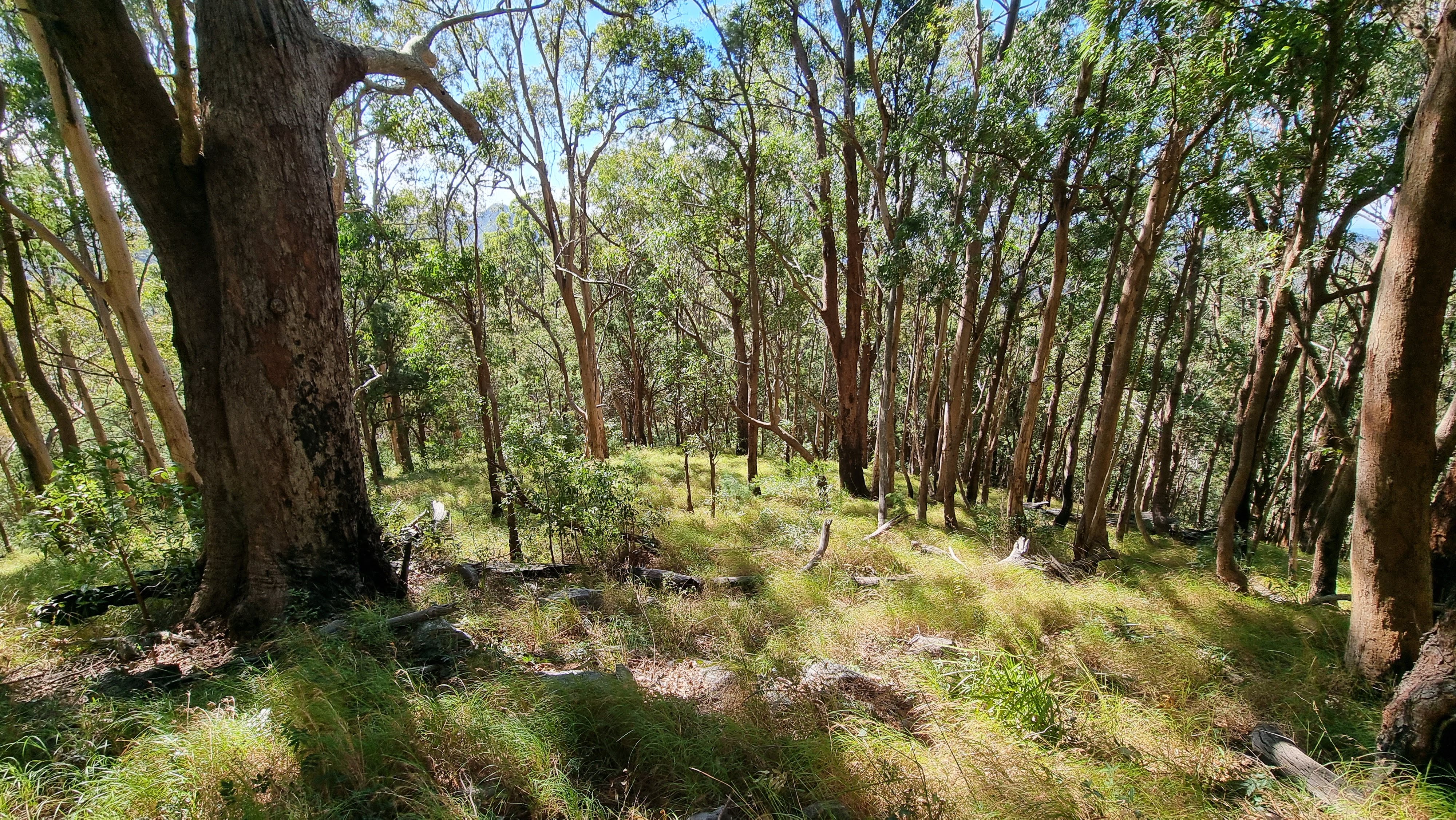
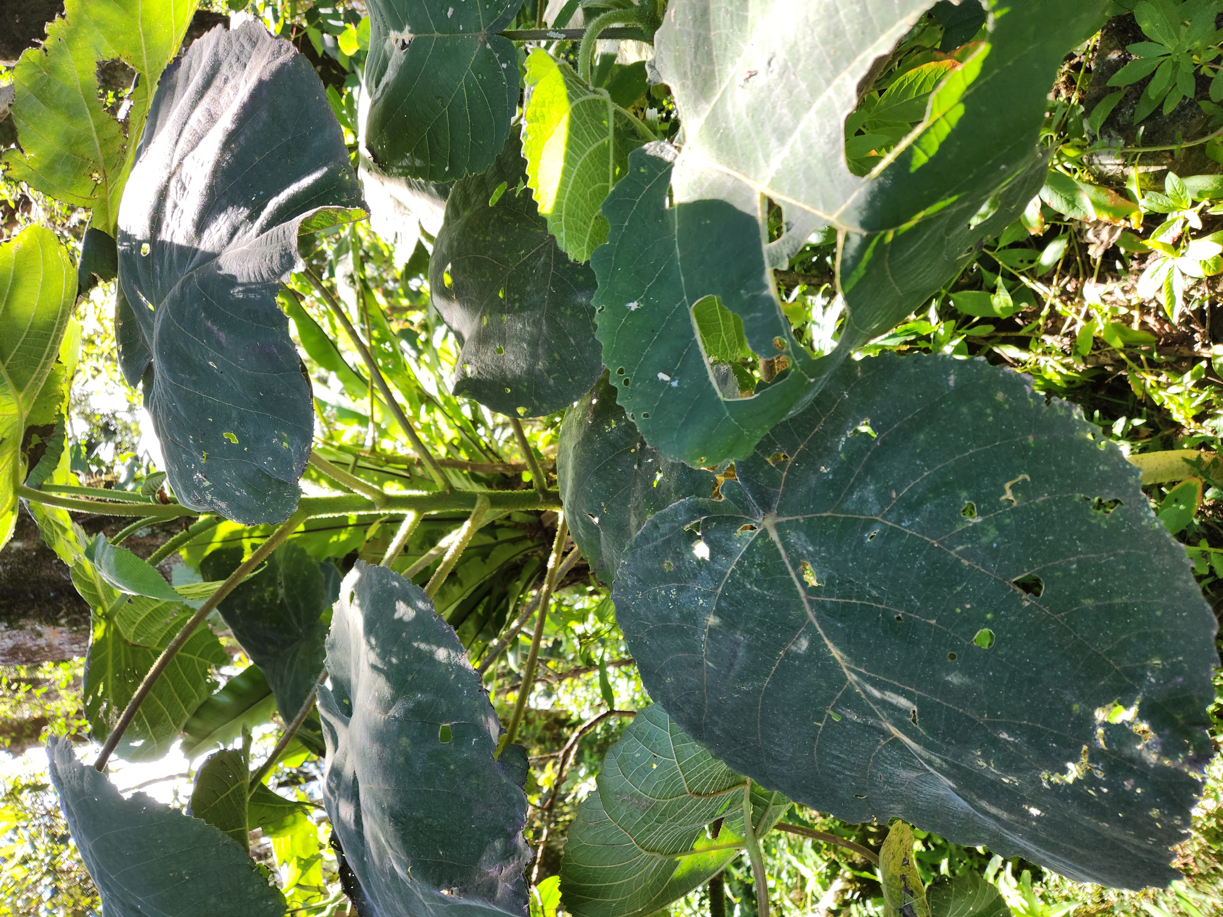
As we passed over the top of an un-named peak we crossed a literal line between sparse and dry bush into dense and notably humid rainforest. Not long after that we had our first brush with gympie-gympie. Despite being on flat-ish terrain for the next kilometer, following the trail, actually finding a way through all the dreaded stinging nettle became quite the challenge. That remained the case all the way through a final steep 400m stretch to Mowburra peak.
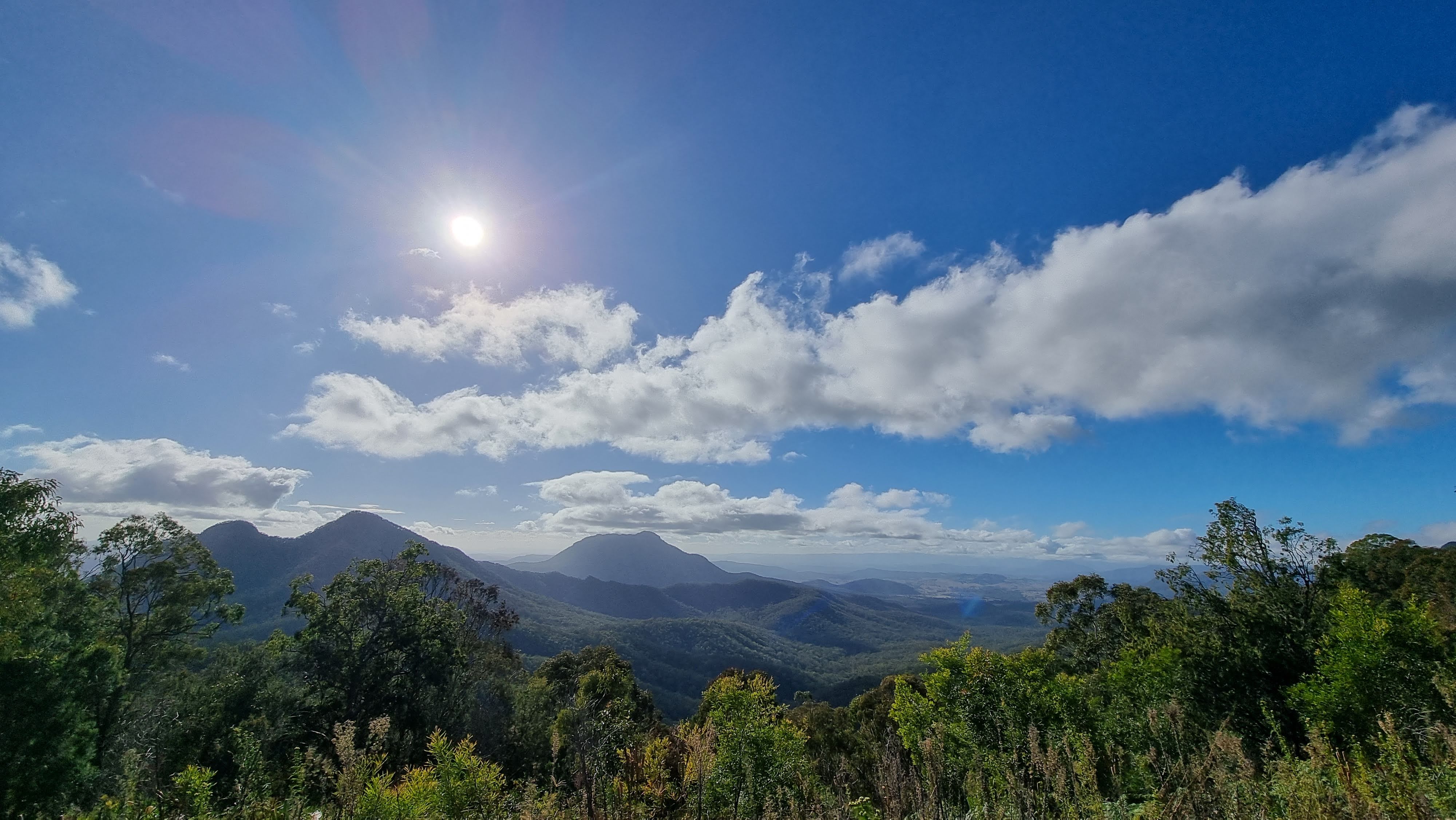
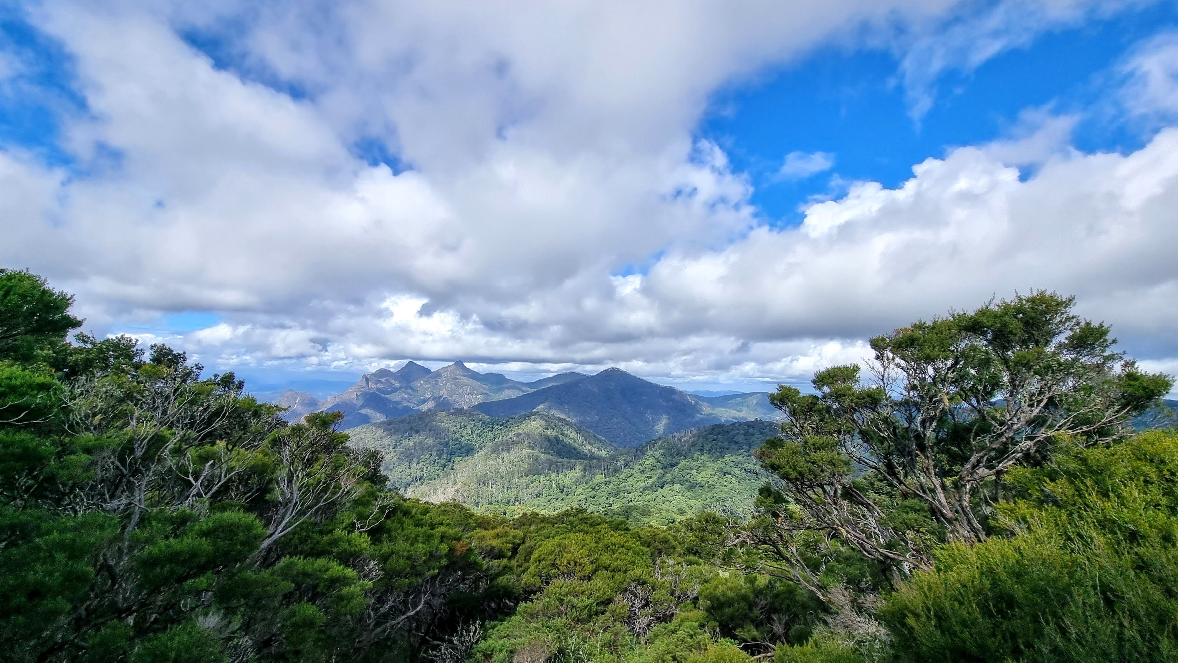
Maps of the area have the trail on the westerly slope but it’s over to the east that a rocky clearing offers the amazing views over Montserrat toward Mount Barney. A perfect spot for lunch and a decent rest.
Next on the route was to be Durrumlea and Focal Peak. With the reports of other hiking groups in mind, we expected to skip the summits that don’t offer any real views. Instead it would be the path of least resistance, roughly following the Focal Peak Trail toward Montserrat Lookout where we would setup camp for the night.
Making our way around Focal Peak, having covered 10.5km since setting out roughly 8 hours earlier, the density of the forest quickly increased. A combination of virtually impenetrable vines from ground level to well above head height, along with tracts of gympie-gympie.
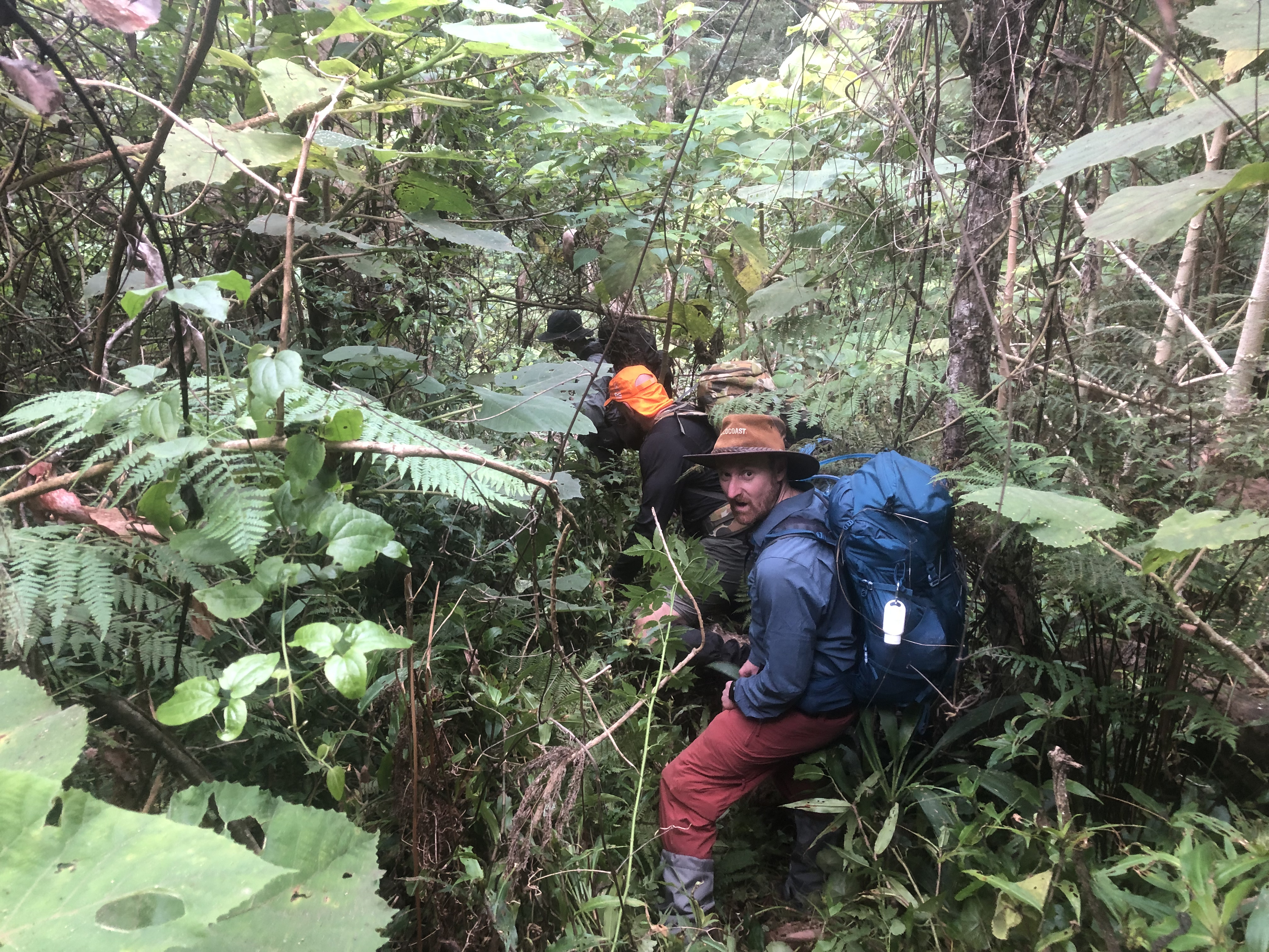
We kept it positive despite the understandable moment of frustration. The relentless scratching from sharp leaves, the whacks from recoiling branches, the yanks and trips from stiff vines, the excruciating sting of the gympie-gympie. Most of all the lack of progress.
By far the hardest and most frustrating afternoon I’ve ever had on a trail.
As the sun dipped behind the ridge line we had earlier traversed, we realised that we would would be reaching our intended campsite in the dark, if at all. From there the next 500m took an hour. With no sign of clearer passage along the Focal Peak Trail, nor any sign of a clearing where we might setup camp, we paused and considered our options.
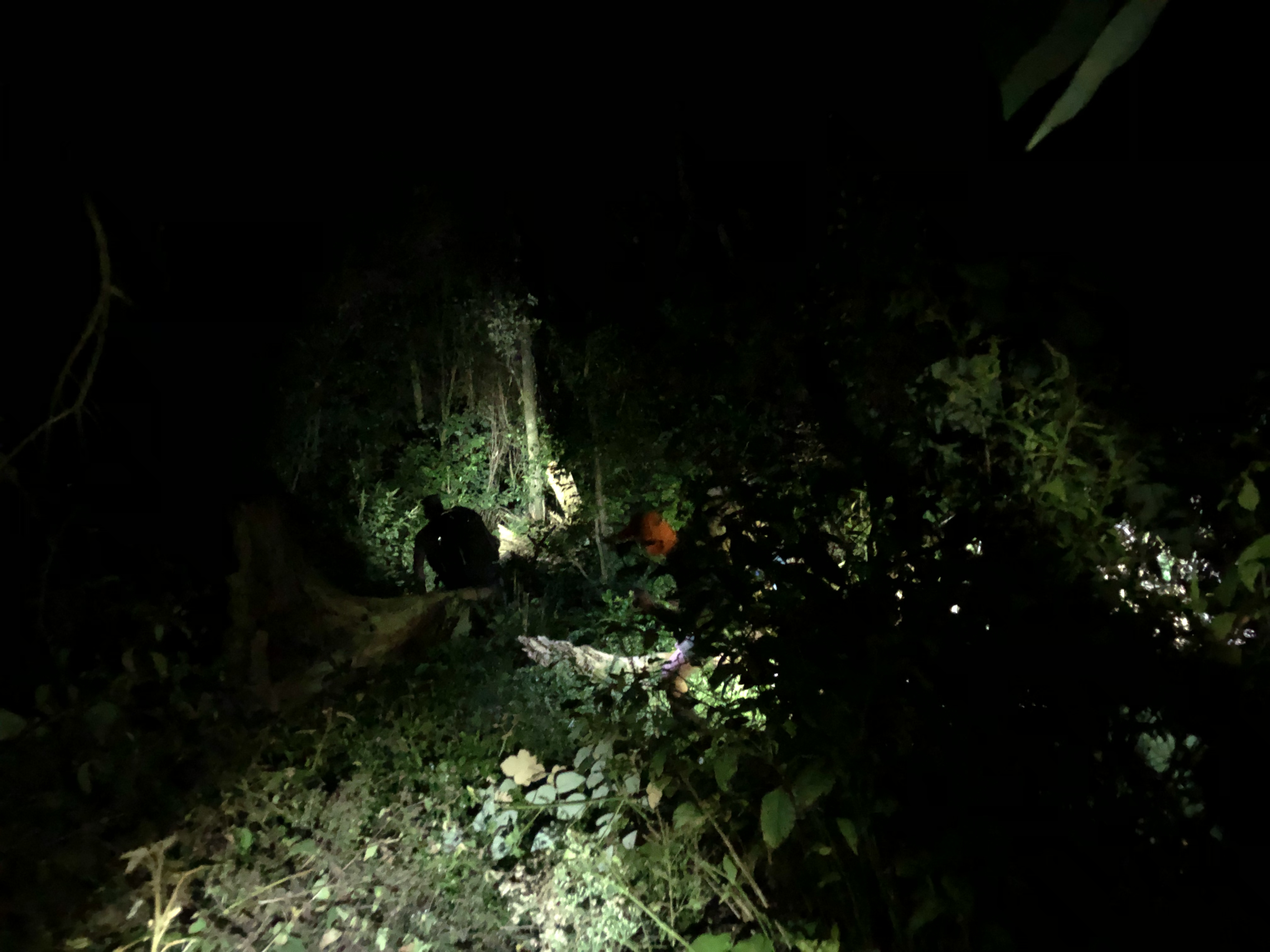
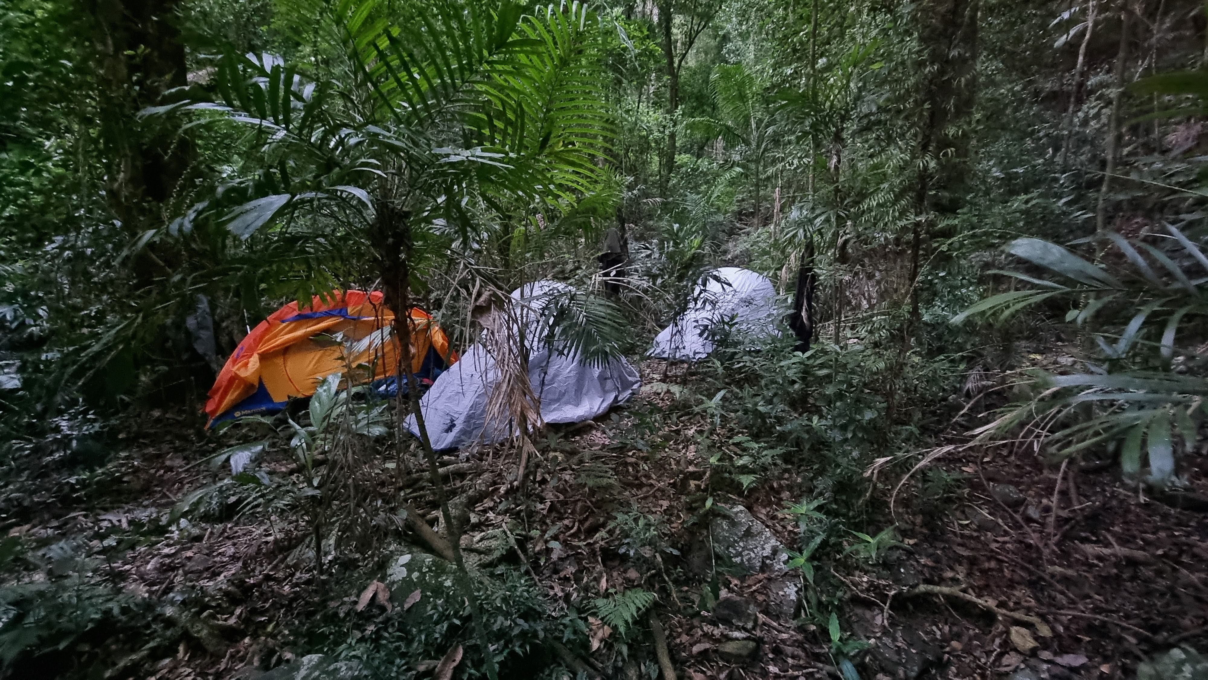
Descending toward a marked creek, certain to be dry, presented an option. Perhaps fewer vines and less gympie-gympie on the opposing hillside with a more westerly aspect. Hopefully at least some clearings and flat ground to camp. Another two hours for the next 1.5km. We found the creek, took a few minutes rest, and searched possible routes before deciding it time to setup camp around 8:30pm.
A twelve hour day! Everybody was beaten but not finished. We discussed our tactics for the following day while cooking dinner and were soon off to sleep. Hopeful that daylight would improve our fortunes.
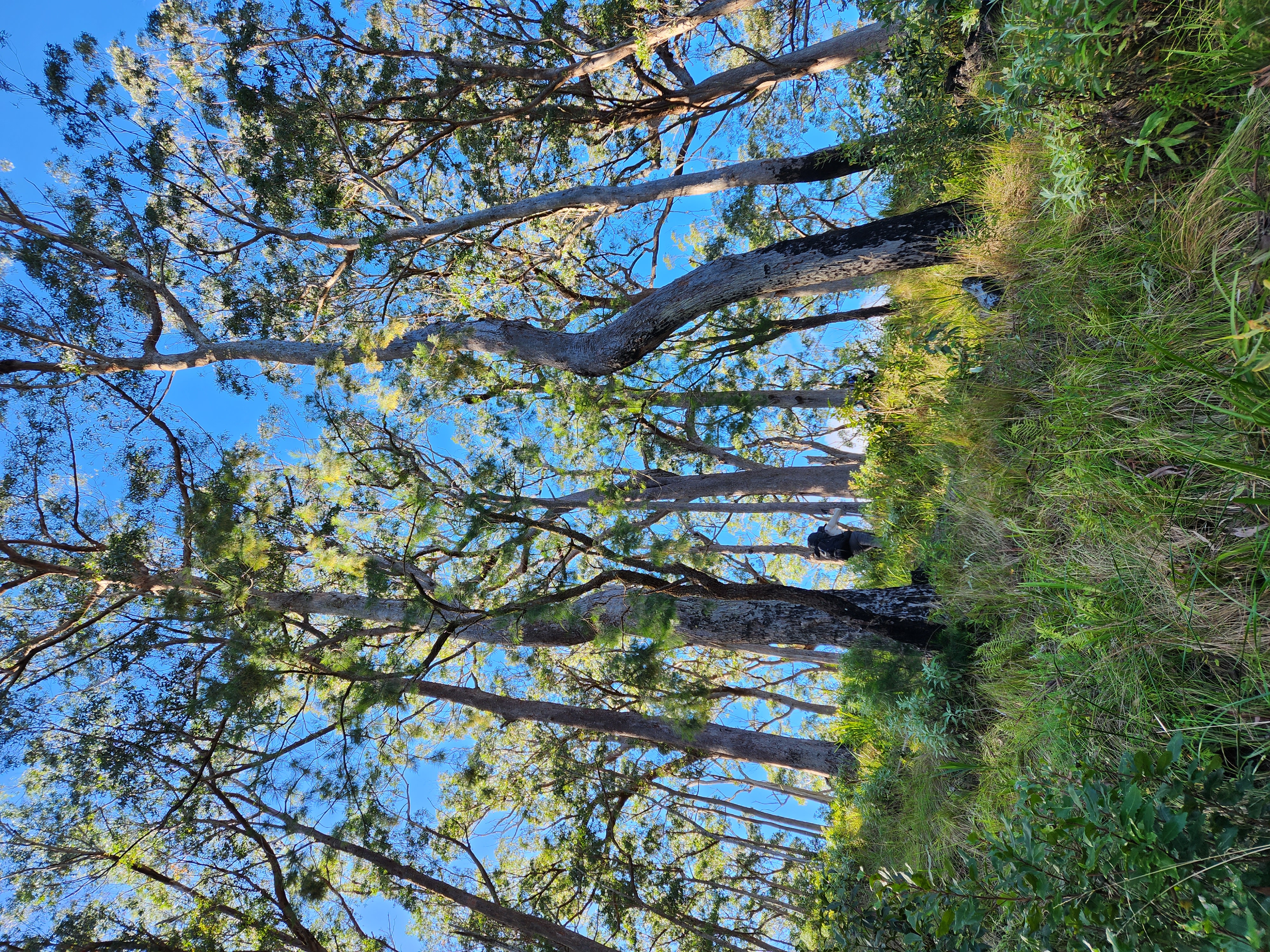
The night had allowed the air to cool and become less humid. As we ate breakfast and packed our tents we resolved to push upward and re-join the intended route as it was clearly the shortest and most certain way to restock on water. Have eaten and slept, and with daylight on our side we were set for the challenge.
With our slightly lighter packs we left camp with a spring in our step and early progress was good as we re-traced our way back up the dry creek bed, before turning to take a direct line to the ridge that would lead us to Montserrat Lookout.
As soon as we left the creek and re-entered the vines and gympie-gympie, the stop-start and path finding resumed. We knew we were close so it was far easier to push through to the goal. One hour for 1km. The rainforest eventually gave way to dryer eucyalptus forest covering the uppermost part of the ridgeline and we re-joined the trail leading to the lookout.
We dropped our packs at the intended campsite, perhaps to prove a point; we’d made it. We then strolled on to the lookout, all with a smile, to take in the views.
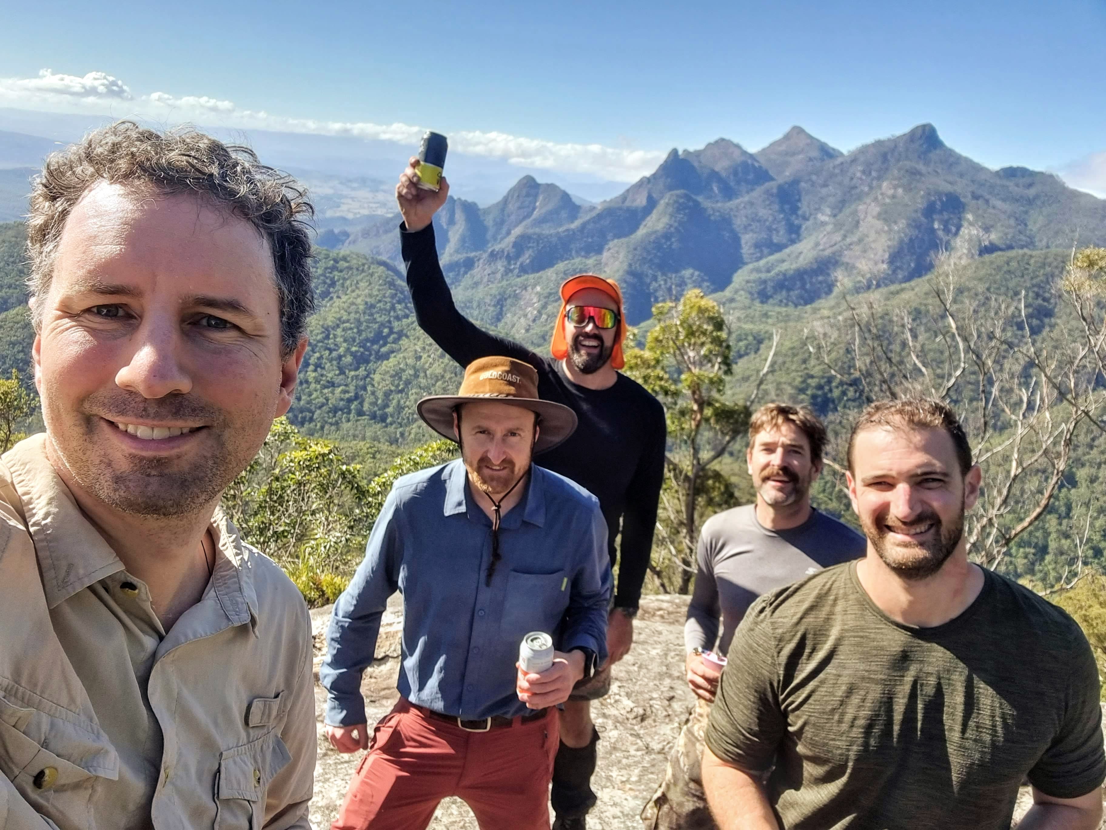
And those views did not disappoint.
After soaking up the fresh mountain air for nearly 45 minutes it was time to head for fresh water and a swim. The trail between Montserrat and Upper Portals is steep for roughly 2 kilometers. We were happy to be descending although patches of loose rock required our full attention.
The sight of the creek was welcomed. At this stage we’d hiked 15km with 1200m elevation gain, and hadn’t seen a water source for over 24 hours. So definitely time to refill the water bottles and treat some sore calves and tight backs to a cool swim.
With ample water, a clear trail to follow back to the cars, and some time up our sleeves we took the moment for coffee and a cooked lunch. And from there it was all laughs, and a touch of relief, that we cruised the 4km back along Upper Portals Trail to the trailhead.
Sucess!